‘What is Mazama?’


A masterplan for Mazama
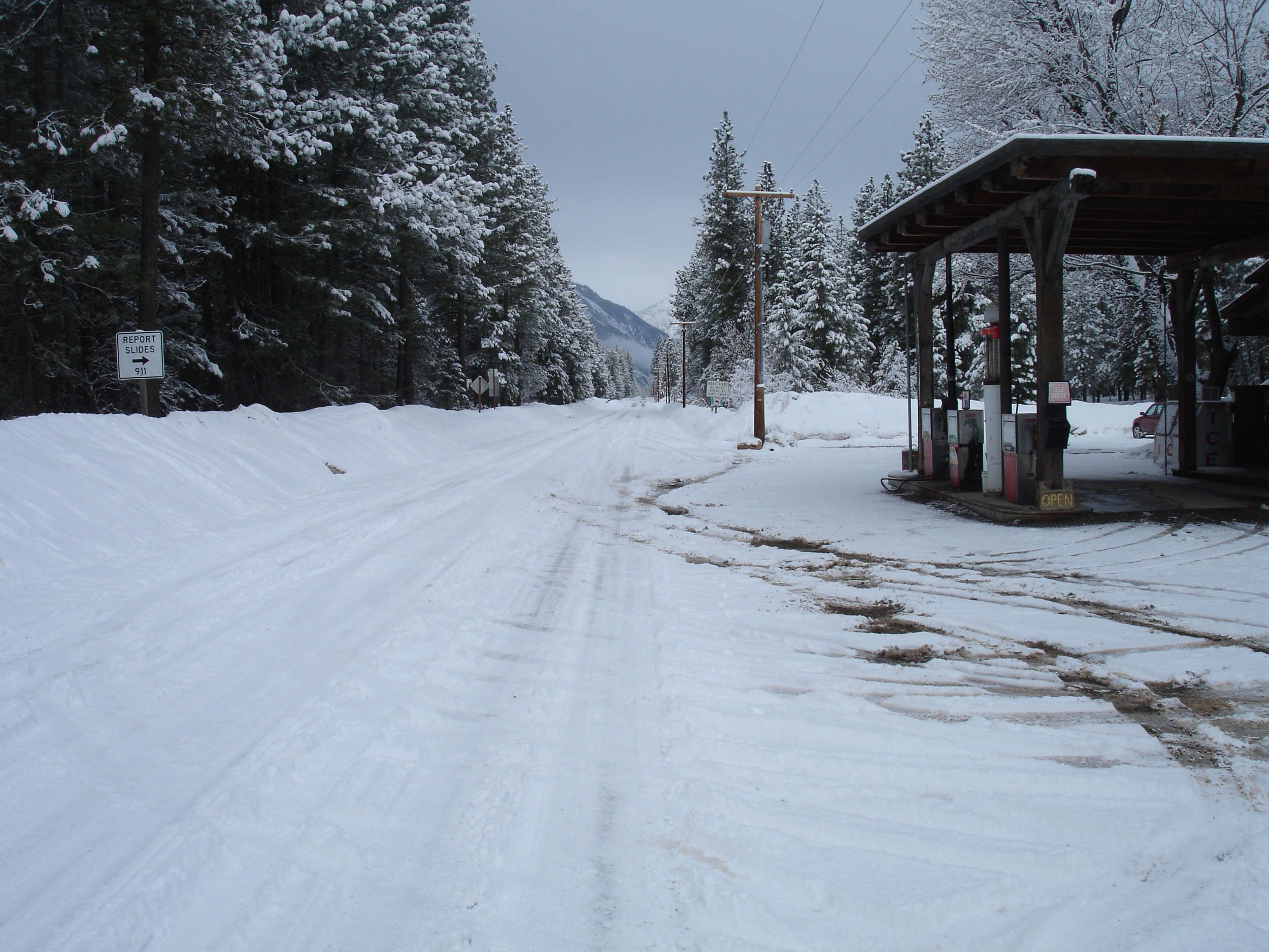
Life in Mazama, a small rural community in north-west USA, was about to be disrupted. Local landowners were preparing to develop some of their properties without knowledge or coordination with other parties. Historical growth patterns, based on past land divisions, were about to be expanded and cemented. These patterns functioned optimally for large scale rural activities but were ill-suited to the town centre of a rural community in the Upper Methow Valley, within the North Cascades Mountain range.
These divisions had established awkward and unusable areas that would not be conducive to a functioning centre. A large parking area -established for seasonal events- had taken centre stage and dominated the town centre. A telephone exchange and public toilets were the first buildings to greet arrivals by car. Piecemeal development had created disconnected land uses that were not friendly to pedestrian life or cohesive growth. Motorists were keen to turn a problematic junction into a roundabout, creating further disconnection for the pedestrian network.
Local property owners, the Mazama Advisory Committee and the Methow Conservancy asked us to work with them to solve the problem. We illustrated the difficulties of the growth pattern and created a community survey to gain further insights and concerns. We also set out a vision to manage the growth potential before this unique opportunity was lost forever.
The survey results were very positive, and the local community endorsed our vision for change.
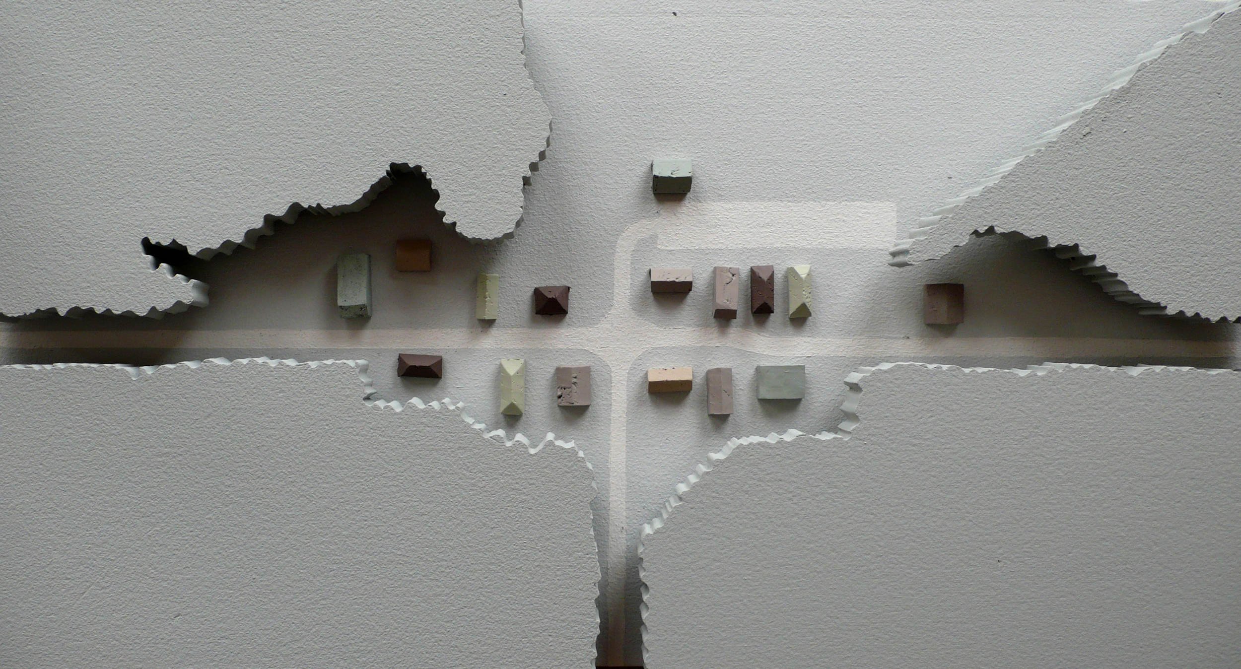
We conceived the growth pattern of Mazama as a cohesive new rural town centre that would conserve and enhance the quality of the natural environment. It would be defined as a gateway to the environment by a series of interventions to preserve the rural character.
We would need to persuade landowners -eager to develop their properties- to change their lot boundaries and develop in places they had not yet anticipated.
We facilitated land exchanges and boundary lines adjustments to maximise the utilisation and efficiency of space within the town centre. We reconfigured infrastructure, signage and utilities to minimise visual clutter to the pristine environment. The parking area was moved away from the centre and designed as an element of occasional use, rather than a year-round requirement.
Once the town is fully developed, the spatial configuration will integrate one of the longest groomed cross-country ski trails in the country into the town centre.
The project will include the realignment of several roads to create a pedestrian-friendly urban space and will enable pedestrian and trail networks to link public spaces. A safe and usable transport network can also be developed.
It has been ten years since our plan was agreed. We are in touch with the local community regularly and are happy to learn that they are developing their projects in a coherent manner.